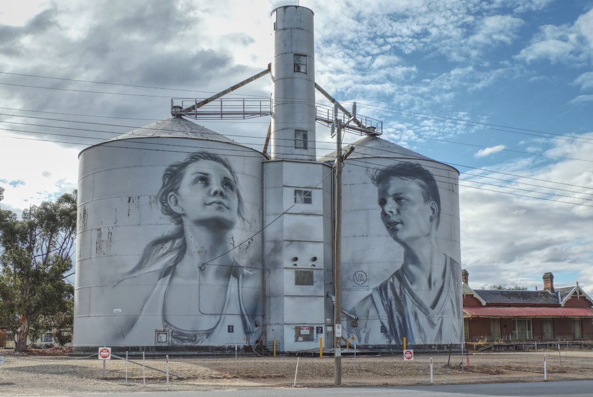
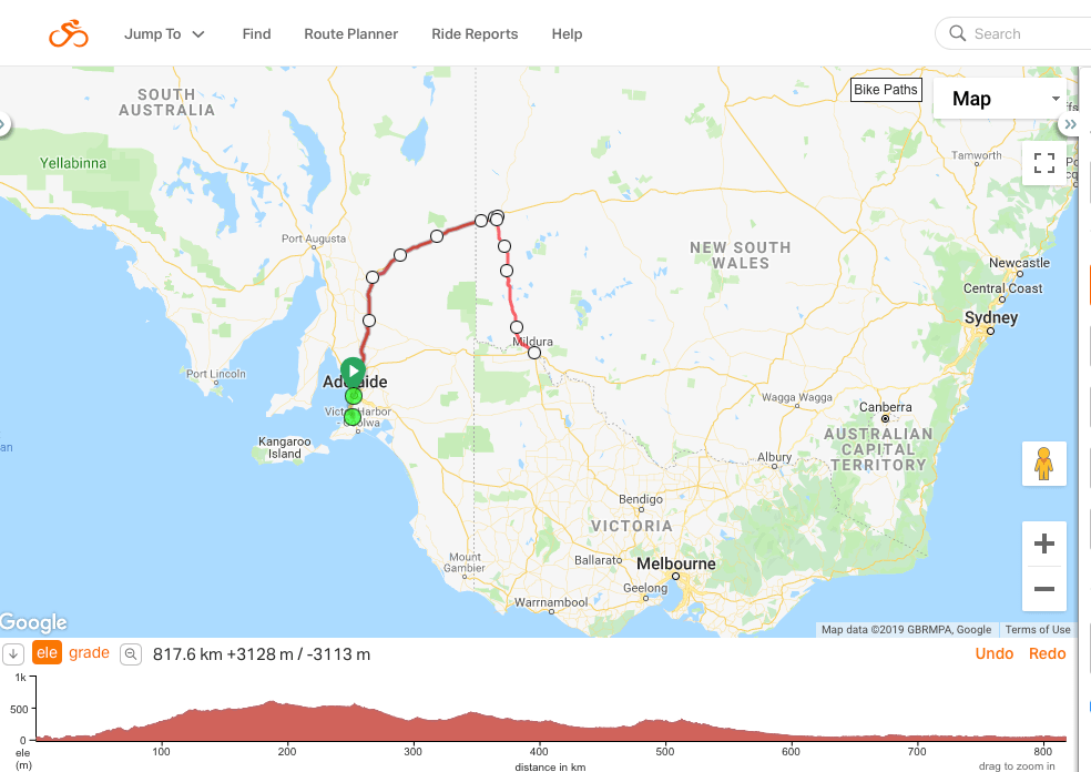
Broken Hill is over 800 kilometers from Melbourne. We decided to add a few kilometers and travel down the 200 kilometre Wimmera Silo Arts Trail.
Continue reading “Back to Tasmania”Category: NSW
Touring about – no cycles
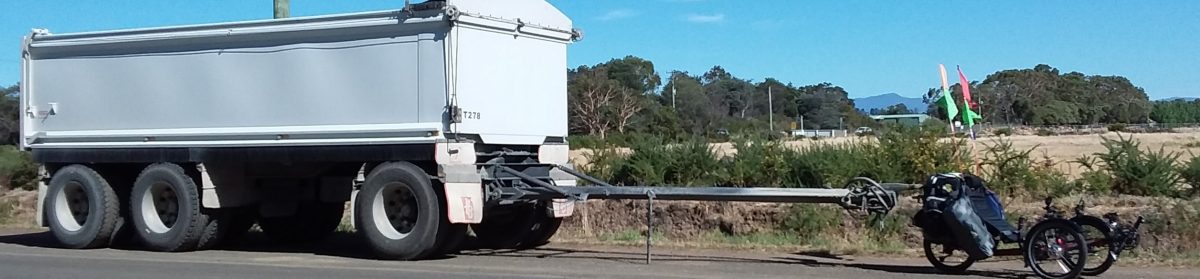
The trike was parked at Milang and then folded up, wheels off and placed in the back of the car. In fact it hasn’t been used since I cycled it into Adelaide. I thought I had better post a ‘filler’ to tell what we are doing.
Continue reading “Touring about – no cycles”